Today, the UK government has announced that it has given the greenlight to ‘Project Skyway’, a plan to create a ‘drone superhighway’ between the Midlands and the Southeast.
The proposed drone corridor will be the longest in the world, spanning around 165 miles and connecting Reading, Oxford, Milton Keynes, Cambridge, Coventry, and Rugby. It will be built and developed over the coming two years, with plans to extend the corridor all the way to Ipswich and Southampton if early trials prove successful…
Today, the UK government has announced that it has given the greenlight to ‘Project Skyway’, a plan to create a ‘drone superhighway’ between the Midlands and the Southeast.
The proposed drone corridor will be the longest in the world, spanning around 165 miles and connecting Reading, Oxford, Milton Keynes, Cambridge, Coventry, and Rugby. It will be built and developed over the coming two years, with plans to extend the corridor all the way to Ipswich and Southampton if early trials prove successful.
One completed, the corridor will allow for various drone trials on a scale unattainable anywhere else in the UK.
The project is led by UK-based drone specialist Altitude Angel, who is working alongside UK telecoms operator BT and numerous tech start-ups.
Altitude Angel will provide their Unified Traffic Management (UTM) solution, a holistic system for drone management during flight, similar to an automated air traffic control system.
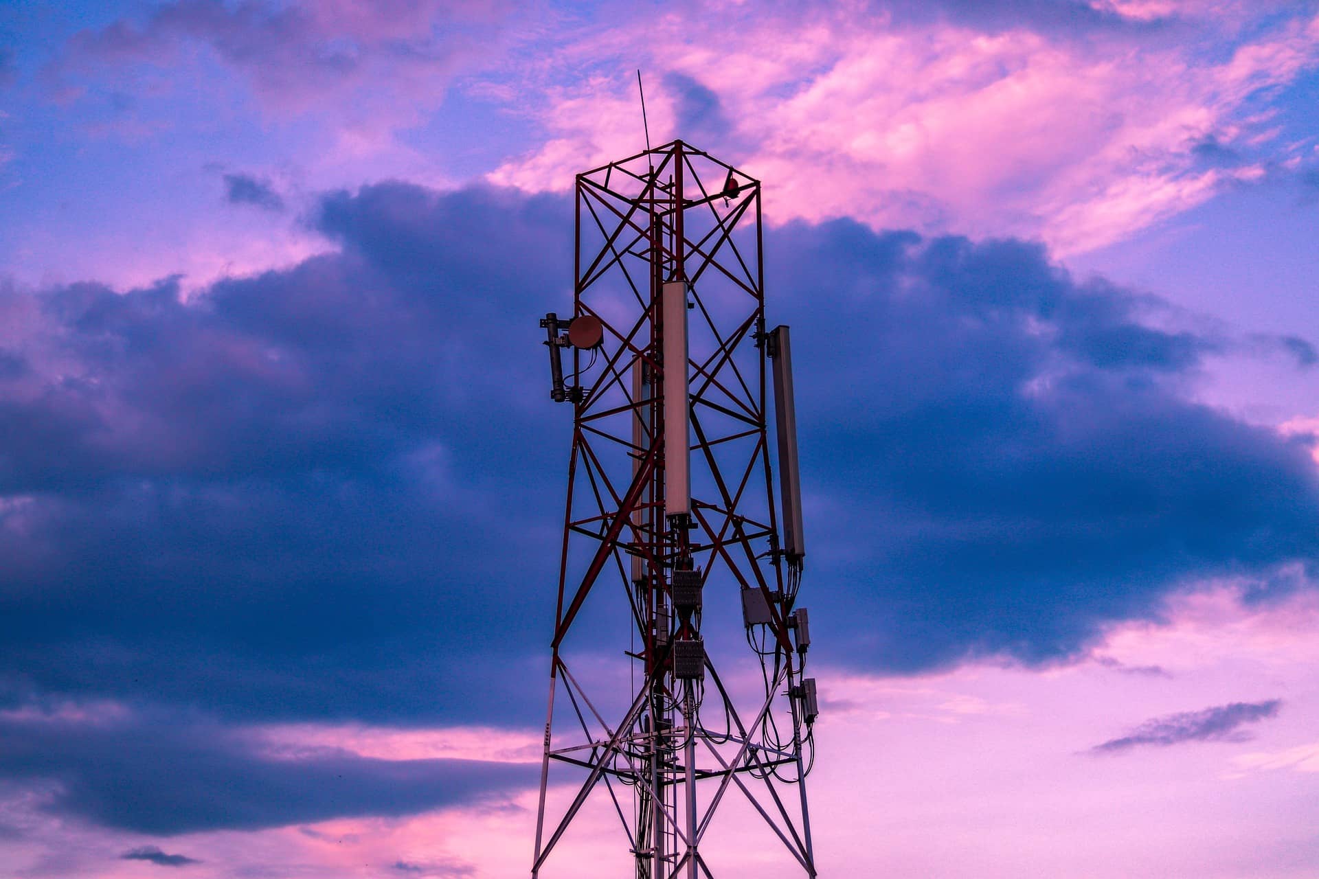
UTM hardware from Altitude Angel and the rest of the Skyway consortium will be deployed along the planned route, being integrated with BT’s mobile network infrastructure assets where possible.
BT, meanwhile, will provide the mobile connectivity over which the drones communicate.
In essence, this will allow for a ‘superhighway’ of network of sensors that will provide real-time location data about everything in the local airspace and direct the drones their location.
This is the reverse of current drone flight, which typically requires an operator to pilot the drone using cameras on the drone itself.
“Cellular connectivity, and a secure, resilient 4G and 5G mobile network, will continue to enable the rapid growth of the drone market. Through our EE network, BT is providing the UK’s largest and most reliable network to Project Skyway, to keep drones connected to ARROW® so they can receive greater situational awareness and tactical collision avoidance instructions from the autopilot system, and stream key video feeds such as search and rescue footage back to control rooms,” explained BT’s Director of Drones, Dave Pankhurst.
This reliance on relatively ubiquitous mobile connectivity and a largely autonomous UTM system should allow unpiloted drones to fly beyond visual line of sight (BVLOS), a crucial step in preparing for services like drone delivery, private drone fleets, and long-distance search and rescue operations.
“The social and economic potential of drones is immense and requires close industry collaboration to fully unlock these opportunities in a safe and responsible way. It’s an exciting time to be part of such a powerful consortium. Project Skyway will be crucial to showcase how the UK can not only lead the creation of new jobs and public services, but form the backbone of how we integrate drones into our daily lives,” said Pankhurst.
Of course, there remain a myriad of logistical and legal challenges to be overcome before commercial drone services take to the skies, but the creation of a testbed of this size is nonetheless a huge asset for the advancement of drone technology.
Will mobile networks be the backbone to the drone services of the future? Find out how the operators are utilising drones at this year’s live Connected Britain conference
Also in the news:
Planes, trains, and automobiles: Starlink gets FCC greenlight for moving vehicle internet
KDDI network outage hits almost 40m people
TIM to shift almost half its Italian staff into NetCo